
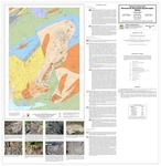
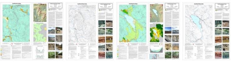
Maine - The Maine Geological Survey (MGS) is pleased to announce the publication of 13 new geologic maps for Maine. These maps are the culmination of many years of field work, cartography, and geologic editing by MGS staff and collaborators.
Bedrock Geology of the Mooseleuk Mountain Quadrangle
The Bedrock geology of the Mooseleuk Mountain quadrangle by Stephen G. Pollock represents another installment of detailed bedrock mapping in the fascinating Munsungun Anticlinorium region of the North Maine Woods (see the Jack Mountain and Round Mountain bedrock geologic maps by Chunzeng Wang). Ongoing detailed mapping in the Anticlinorium continues to decipher the dynamic Ordovician volcanic landscape by subdividing and refining the distribution of several units of undifferentiated sedimentary and volcanic rock that had previously been mapped in low detail. Additionally, the Mooseleuk Mountain quadrangle highlights the geological context of the Norway Bluff area, which hosts one of the most significant Native American archeological sites in the state. Chert of exceptional quality was quarried there for stone tools, and the rough material and points from these quarries were traded all over the northeast.
|
Surficial Geology Mapping in Western Maine
Surficial geology mapping in 2019 covered the Weld and Roxbury quadrangles, where MGS geologist Lindsay Spigel encountered very interesting deposits related to the end of the last Ice Age. Glacial ice and debris blocked drainage of many areas in both quadrangles, creating glacial lakes that left behind useful sand and gravel deposits such as former lake deltas. The hillsides are mostly covered with stony till, especially in the Roxbury quadrangle where lodgement till (“hardpan”) is common on northwest slopes. Stagnant ice in the Webb Valley resulted in unique undulating (“hummocky”) topography, with loose glacial till that can often be a useful sand and gravel resource. Small esker segments and ice-contact deposits round out the inventory. The interesting geology is easily viewed from many hiking and multi-purpose trails in Mount Blue State Park and Tumbledown Public Lands. Map users will find helpful additions to the surficial map series – a lidar hillshade with elevation color ramp to help visualize the landscape and an estimated overburden thickness map.
The 2018 Dixfield surficial geology map was updated with additional information from the 2019 field season.
The following maps of the area are now available:
- Surficial geology of the Roxbury quadrangle, Maine
- Surficial materials of the Roxbury quadrangle, Maine
- Surficial geology of the Weld quadrangle, Maine
- Surficial materials of the Weld quadrangle, Maine
- Surficial geology of the Dixfield quadrangle, Maine
Bedrock Geology of Mount Desert Island
Seven of the nine 1:24,000-scale quadrangle maps for Mount Desert Island are now published. In 2018, MGS published Duane Braun's compilation map Bedrock geology of Mount Desert Island derived from these quadrangles. These quadrangle maps include all the detailed data and help build out the bedrock 1:24,000-scale map series. The final two MDI quadrangle maps will be published soon after final review with the original mapping geologist.
|
The following maps are now available:
- Bedrock geology of the Northern Portion of the Bass Harbor quadrangle, Maine
- Bedrock geology of the Seal Harbor quadrangle, Maine
- Bedrock geology of the Northwestern Portion of the Baker Island quadrangle, Maine
- Bedrock geology of the Southwestern Portion of the Bar Harbor quadrangle, Maine
- Bedrock geology of the Northeastern Portion of the Swans Island quadrangle, Maine
- Bedrock geology of the Bartlett Island quadrangle, Maine
- Bedrock geology of the Southwest Harbor quadrangle, Maine
The Mapmaking Process at MGS
All Maine geology maps produced by MGS are a culmination of hundreds of hours of field investigations by staff and cooperating geologists. The data from the field work is compiled in the survey's database and geographic information system after each field season. Data from previous field work by other geologists or other historical publications may also be added. The geologist analyzes and interprets the data to create a draft digital map that represents the nature, three-dimensional relationships, and origin of the geologic materials in the area. These information systems are used to produce a draft digital map. This draft undergoes a number of cartographic, geologic and editorial reviews before it is ready to be released. The maps can be downloaded in PDF format from the links above or paper versions may be purchased from MGS.
No comments:
Post a Comment