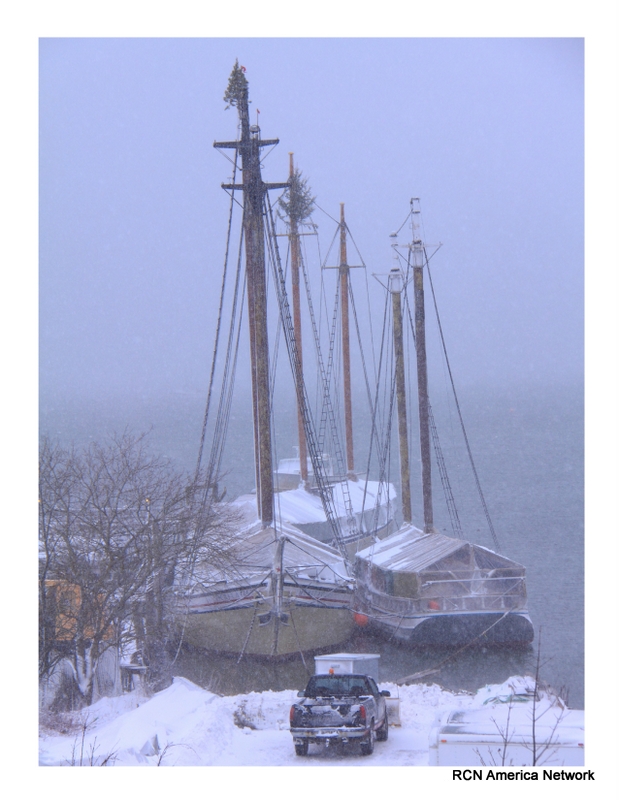
National Weather Service Gray Statements:
...Significant winter storm expected Tuesday...
.Low pressure will deepen along the coast of northern New England
early Tuesday morning. Cold air in place will help snow develop
and spread into the region. The heaviest snows will be over
southern and central New Hampshire and portions of interior Maine
during the day Tuesday. The immediate coast may see a mix of snow
with sleet and and or rain, and therefore should have much lower
snow amounts.
Northern Oxford-Northern Franklin-Central Somerset-
Southern Oxford-Southern Franklin-Southern Somerset-Interior York-
Interior Cumberland-Androscoggin-Kennebec-Northern Coos-
Southern Coos-Northern Grafton-Northern Carroll-Southern Grafton-
Southern Carroll-Sullivan-Merrimack-Belknap-Strafford-Cheshire-
Eastern Hillsborough-Interior Rockingham-
Western And Central Hillsborough-
Including the cities of Upton, Wilsons Mills, Andover, Byron,
Middle Dam, Roxbury, South Arm, Coburn Gore, Davis, Oquossoc,
Rangeley, Avon, Kingfield, Phillips, New Portland, Brassua,
Long Pond, Moosehead, Pittston Farm, Seboomook, Bingham, Jackman,
Bethel, Bryant Pond, Hanover, Locke Mills, Milton, Newry,
Rumford, Norway, Fryeburg, Oxford, Farmington, New Sharon,
New Vineyard, Temple, Wilton, Chesterville, Jay, Athens,
Cornville, Skowhegan, Palmyra, Pittsfield, Embden, Madison,
Hollis, Alfred, Lebanon, Sanford, Goodwins Mills, Buxton,
Limington, Berwick, New Gloucester, Gray, North Windham, Gorham,
Bridgton, Greene, Lewiston, Sabattus, Wales, Minot, Turner,
Auburn, Livermore Falls, Augusta, Sidney, Windsor, Vassalboro,
Waterville, China, Palermo, Errol, Millsfield, Colebrook, Berlin,
Dummer, Milan, York Pond, Lancaster, Bethlehem, Lincoln,
Littleton, Sugar Hill, Thornton, Waterville Valley, Woodstock,
Jackson, North Conway, Albany, Conway, Chatham, Crawford Notch,
Lyme, Ashland, Ellsworth, Holderness, Plymouth, Rumney,
Wakefield, Bridgewater, Brookfield, Ossipee, Tuftonboro,
Wolfeboro, Moultonborough, Claremont, Cornish, Unity, Croydon,
Goshen, Grantham, Lempster, Newport, Charlestown, Boscawen,
Canterbury, Concord, Dunbarton, Loudon, Hooksett, Laconia,
Gilford, Meredith, Barrington, Rochester, Dover, Rollinsford,
Somersworth, Durham, Madbury, Gilsum, Keene, Marlow, Sullivan,
Surry, Jaffrey, Manchester, Pelham, Nashua, Salem, Atkinson,
Newton, Plaistow, Chester, Derry, Hampstead, Exeter, Amherst,
Milford, Mont Vernon, Goffstown, Peterborough, Sharon, and Weare
...WINTER STORM WATCH IN EFFECT FROM LATE MONDAY NIGHT THROUGH
LATE TUESDAY NIGHT...
* WHAT...Heavy snow possible. Plan on difficult travel conditions,
including during the morning and evening commutes on Tuesday.
Total snow accumulations of 4 to 7 inches are possible.
* WHERE...Portions of, central, northern and southern New
Hampshire and, south central, southwest, west central and
western Maine.
* WHEN...From late Monday night through late Tuesday night.
* ADDITIONAL DETAILS...Significant reductions in visibility are
possible.
PRECAUTIONARY/PREPAREDNESS ACTIONS...
A Winter Storm Watch means there is potential for significant
snow, sleet or ice accumulations that may impact travel. Continue
to monitor the latest forecasts.
National Weather Service Caribou Statement:
Northwest Aroostook-Northeast Aroostook-Northern Somerset-
Northern Piscataquis-Northern Penobscot-Southeast Aroostook-
Central Piscataquis-Central Penobscot-Southern Penobscot-
Interior Hancock-Central Washington-Southern Piscataquis-
Northern Washington-
Including the cities of Allagash, Clayton Lake, Madawaska,
Fort Kent, Frenchville, Presque Isle, Caribou, Van Buren,
Mars Hill, Baker Lake, Billy-Jack Depot, Baxter St Park,
Chamberlain Lake, Churchill Dam, Mount Katahdin, Millinocket,
East Millinocket, Patten, Medway, Houlton, Hodgdon, Sherman,
Smyrna Mills, Greenville, Monson, Blanchard, Lincoln, Howland,
Springfield, Bangor, Brewer, Orono, Old Town, Amherst, Aurora,
Dedham, Eastbrook, Great Pond, Orland, Calais, Grand Lake Stream,
Wesley, Perry, Princeton, Dover-Foxcroft, Milo, Guilford,
Danforth, Vanceboro, and Topsfield
...WINTER STORM WATCH IN EFFECT FROM TUESDAY MORNING THROUGH
WEDNESDAY MORNING...
* WHAT...Heavy mixed precipitation possible. Plan on difficult
travel conditions. Total snow accumulations of 5 to 8 inches,
with localized amounts up to 10 inches, and ice accumulations
of a light glaze are possible.
* WHERE...Portions of East Central Maine, Eastern Maine, Far
Northern Maine, Interior DownEast Maine, North Central Maine,
Northern Maine and West Central Maine.
* WHEN...From Tuesday morning through Wednesday morning.
* ADDITIONAL DETAILS...Significant reductions in visibility are
possible.
PRECAUTIONARY/PREPAREDNESS ACTIONS...
A Winter Storm Watch means there is potential for significant
snow, sleet or ice accumulations that may impact travel. Continue
to monitor the latest forecasts.